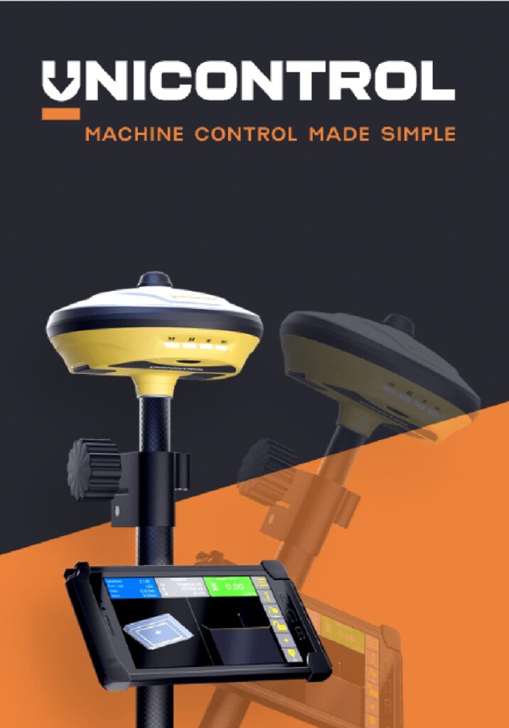
UNICONTROL ROVER MAKES STAKE OUT AND MEASURE EASIER THAN EVER!
Unicontrol GNSS Rover with built-in tilt function combines a high-performance GNSS receiver with our familiar intuitive tablet interface. Share records directly with other Unicontrol units in real-time for efficient collaboration and coordination. A versatile tool that enables you to reach complicated stake-out points in trenches or pits combined with a 60° tilt-function makes surveying flexible and easy!
The UnicontrolRover is a highly accurate surveying instrument, and it does not require any prior technical knowledge – surveying made for everyone on the construction site!
Unicontrol3D offers a quick introduction to machine control for skid-steer grading, a familiar interface on the intuitive tablet and instant data synchronization. Get ready for earthmoving in no time!

INSTANT SYNC BETWEEN GNSS ROVER AND MACHINE
With the UnicontrolRover you can measure, stake out points and lines easier than ever before. Working files are seamlessly and instantly synchronized via the UnicontrolCloud solution to be shared directly with office, operating machines and workstations. With the UnicontrolRover, you can work independently or directly together with systems from Unicontrol – a perfect synergy to save time and improve collaboration.
UnicontrolRover supports the entire construction process from measuring and excavation to quality control in the end – a complete land surveying tool!

A ROVER MADE FOR EVERYONE
The familiar, user-friendly android system and portable wireless screen streamlines your surveying process with the UnicontrolRover. The intuitive interface on the tablet provides easy access to menus and data during the surveying process, providing a complete overview of the construction site and stake-out points in a 3D view.
With the integrated tilt-to-go function up to 60° incline, you can increase productivity and deliver precision without stops!
A few touches on the screen, and you are ready to measure and stake out points. The first GNSS rover system that can be used by anyone on the construction site! UnicontrolRover is intuitive and easy to use – also for non-surveyors.

A RELIABLE AND ACCURATE SURVEYING PARTNER
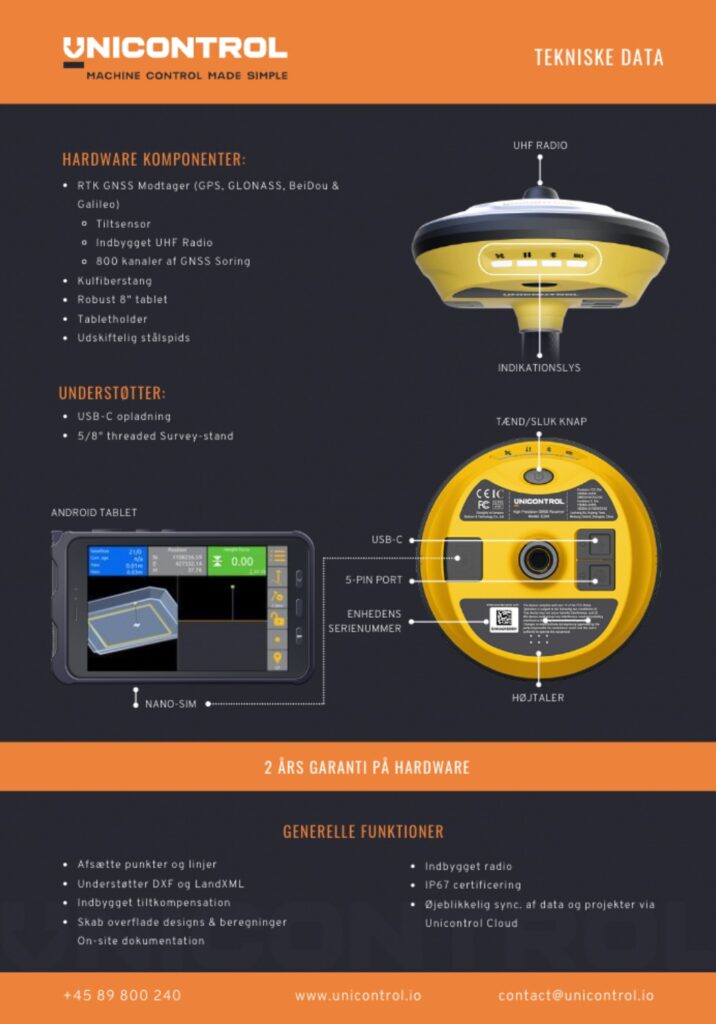
Our high-precision GNSS receiver provides multi-constellation and frequency tracking with up to 800 satellite channels and all signals as standard including GPS, BDS, GLONASS, GALILEO, QZSS and SBAS.
With the GNSS reciever from Unicontrol, high quality results are ensured reliably throughout the surveying process. Stake out points and lines with precision down to millimetres, resulting in reliable and accurate surveying results obtainable for everyone!
In combination with the 4G Network and built-in Radio transmitter ensuring the highest connectivity and quick responsiveness, the UnicontrolRover is an effective surveying tool functioning reliably, even without a total/base station.